Aerobotics Brings Technological Edge to Agriculture
by TERESA SCHIFFER
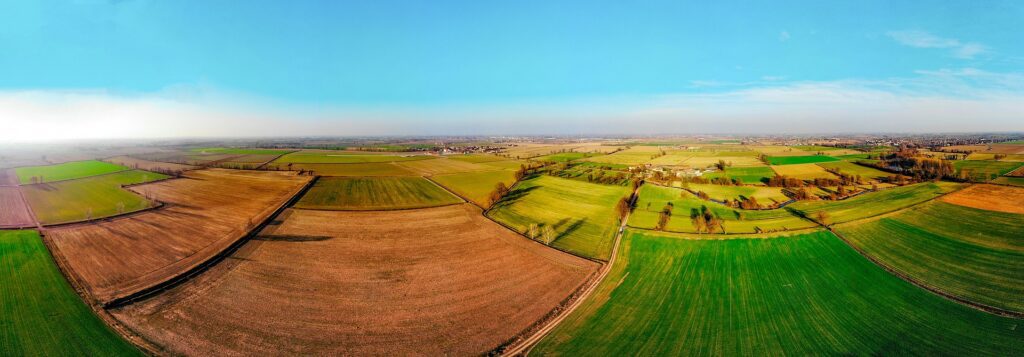
There is a new technology being deployed by farmers across the country to aid in monitoring and managing the farmland. Welcome to the 21st century, where flying drones scope out the landscape, equipped with special sensors for collecting pertinent data, relaying information and delivering targeted payloads of pesticide and fertilizer. Unmanned aerial vehicles (UAVs), also called drones, are becoming more widely used in the agricultural world as an effective tool for a variety of management tasks.
Drones are being utilized for many purposes on farms including monitoring, crop spraying, planting, irrigation, health assessment, and soil analysis. Farmers may purchase and operate their own drones, adhering to any local regulations that are relevant, or they can opt to hire a company such as Aerobotics to operate the drones on their behalf and deliver the data collected.
In order to collect data on things like plant health and soil conditions, drones are outfitted with a variety of specialized sensors. Some drones are capable of scanning crops using both visible and near-infrared light and identifying which plants are reflecting a different amount of green light and NIR light. This enables the drone to produce multispectral images that can track changes in the health of the plants. Drones equipped with hyperspectral, multispectral, or thermal sensors can indicate that a certain area is dry or needs attention.
The information collected by agricultural drones is invaluable to farmers. Drones make it possible to monitor a large farm much more closely than would ever be feasible on foot or with traditional vehicles. The imagery provided by drones can be a consistently higher quality than that which is obtainable through satellites, plus that information can be attained more quickly. Farmers can now more easily spot a burgeoning problem in its early stages and take prompt action to correct the issue, thereby increasing yields and profits by averting many crop losses. In the event a loss does occur, drone imagery and data can provide important details for insurance purposes.
When farmers work with a company such as Aerobotics for drone services, they create a partnership that will be of great benefit to them. For example, upon creating an account with Aerobotics, farmers immediately gain access to three years of satellite data on their farm. Drone flights are then scheduled for different times throughout the season to collect information. Aerobotics even maintains a scouting app, Aeroview Scout, to assist farmers with identifying which areas need attention using historical satellite health data. Using Aerobotics’ tools, farmers are empowered to make data-driven decisions for their farms that will ultimately lead to greater productivity and reduced waste and environmental impact.
As drone usage becomes more accepted and common throughout all industries, we can expect to see even greater innovation of their uses as we head into the future. Drone operators and legislators will continue to work together to resolve issues of safety and privacy. We may see improved sensors and greater automation as the industry develops. Perhaps drones will soon be as ubiquitous on farms as tractors.

