
by TIM CRAIG
A pair of start-up companies housed in one of the University of Florida’s business incubators are teaming up to take their individual specialties and apply a new approach in order to give Florida’s citrus growers — and eventually growers of specialty crops around the globe — an edge in managing their crops.
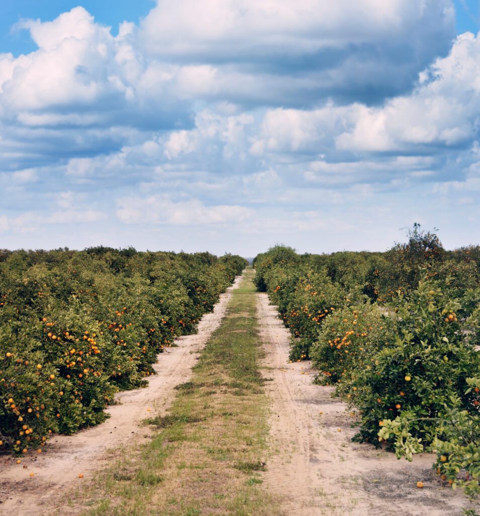
Agriculture Intelligence, which specializes in high-resolution drone technologies, and Satlantis, a space technology company offering satellites for Earth observation and universe exploration, believe they can offer a powerful tool to help growers closely monitor their groves and manage problems faster.
The initiative comes at a key time for the Florida citrus industry. A recent U.S. Department of Agriculture report estimated that growers will fill 44.7 million boxes of oranges, grapefruit, and specialty crops during the 2021-2022 season — down more than 22 percent from the previous season and the lowest since the 1939-1940 season.
“The war for improving productivity starts with understanding the real inventory,” says Matthew Donovan, CEO of Agriculture Intelligence. “Our approach goes beyond just pictures of trees that are taken by drones and have no practical value. Our goal is to give the grower an accurate picture, complete with full field analysis and actionable data.”
The key to the project is Agriculture Intelligence’s Agroview, the brainchild of researcher Dr. Yiannis Ampatzidis, a leading voice in deep learning technologies and artificial intelligence specifically for the agricultural space.
Agroview is a science-first approach to data collection. It uses high-resolution drone imagery, artificial intelligence, and software to report the inventory and health of groves down to the individual trees and the leaves on those trees.
The software monitors, analyzes, and helps growers understand what is working and what needs to be improved among their crops. Agroview not only produces maps but also identifies key data that demonstrates the growth and health of the trees, including nutrient analysis. It assists in informing practical decisions to reduce per-field fertilization treatments, a crucial step in improving sustainability.
“As powerful and useful as this technology is, it’s just the beginning,” Ampatzidis says. “For example, it could generate application maps for use with variable rate sprayers and fertilizers that deliver precision applications for specialty crops. [This] is a step toward major improvements to long-term sustainability.”
Agroview was the 2021 winner of the American Society of Agricultural and Biological Engineers (ASABE) AE50 award, which honors the year’s most innovative design in engineering products for the food and agricultural industries. The award is a sign that the software has been put through the rigor of the scientific community and that it works.
“Part of the issue we have found is that the citrus industry tried drones before and got nothing more than nice pictures of its trees,” says Donovan. “It kind of left a sour taste in their mouths. Agroview was built based on that experience and we proved its value in the depth and the rigor of the scientific process — it’s the only platform to go through that process — and we are looking to bring back the grower market.”
The team-up with Satlantis, with its focus on satellite imagery, gives Agriculture Intelligence the opportunity to expand its in-depth inventory of citrus groves and other specialty crops around the state. The relationship could create the opportunity to monitor inventory more frequently, perhaps even monthly.
“Our goal is to shorten that time between data collections and analyses and, therefore, the decision loop for growers to take action to save their trees,” Donovan says.
The two companies believe they can eventually provide detailed inventory maps for the entire state of Florida if given the chance.
For Aito Moriñigo, executive vice president of Satlantis LLC, the combination of higher-resolution imaging provided by the drones, the scale provided by the satellite imaging, and the technological edge of Agroview gives both companies the opportunity to provide detailed maps for the entire state of Florida, and eventually, beyond.
“The combination of our very high-resolution satellite systems with drone pictures and Agroview software is the perfect fusion of data collection at different altitudes. With the software, we are capable of processing that data and transforming it into actionable information,” says Moríñigo. “The combination of drones and satellites results in the optimum methodology that is ahead of the current state of the art.”
For Donovan, teaming up with Satlantis gives Agriculture Intelligence the opportunity to help on a larger, and quicker, scale.
“By providing full-field data – not a sample – and aggregating that with our data, we can help every single grower in Florida fight the battle and, hopefully, win the productivity war for citrus,” Donovan says.